product details:
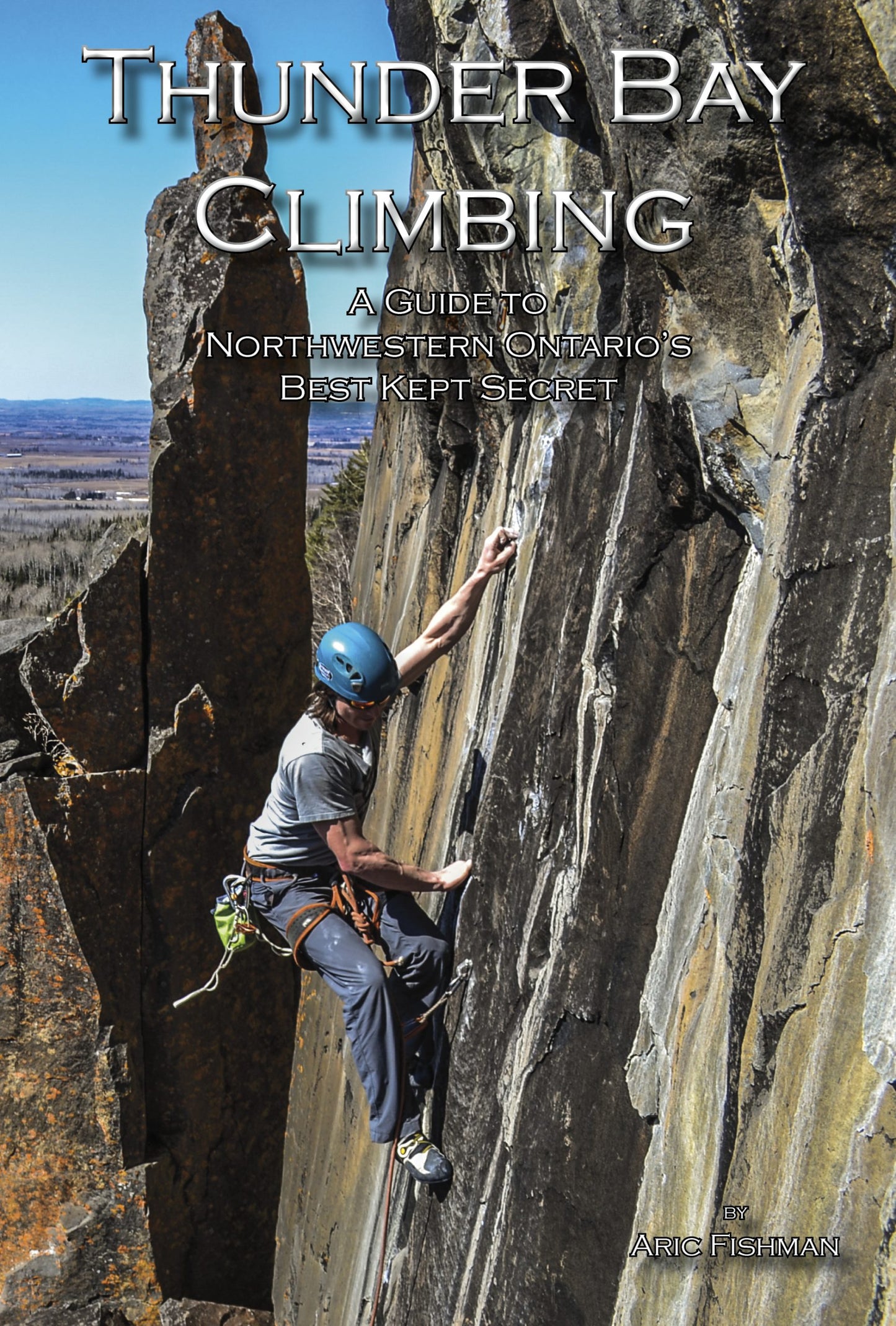
Ce livre se veut non seulement extrêmement informatif et précis, mais aussi un moyen de mettre en valeur visuellement le caractère spectaculaire du terrain et de l'escalade dans cette région. Il présente des éléments clés qui ont été utiles à l'auteur tout au long de ses voyages et de ses autres guides. Parmi les exemples : des photos inspirantes de grimpeurs sur les voies répertoriées, des photographies aériennes par drone, des photos haute résolution des falaises et des voies, des symboles faciles à comprendre, des tableaux de répartition des voies par falaise, niveau et style, des recommandations d'équipement pour les ascensions, des informations sur les relais, des détails sur la descente/le rappel, l'historique de l'ascension et du secteur, des informations sur les problèmes d'accès, les caractéristiques géologiques de chaque falaise, l'ensoleillement de chaque secteur, les temps de marche et d'approche, des itinéraires détaillés et des informations sur le stationnement, et bien plus encore !
Veuillez adresser vos questions à (ou partager votre enthousiasme avec) Aric Fishman à
aric@outdoorskillsandthrills.com

